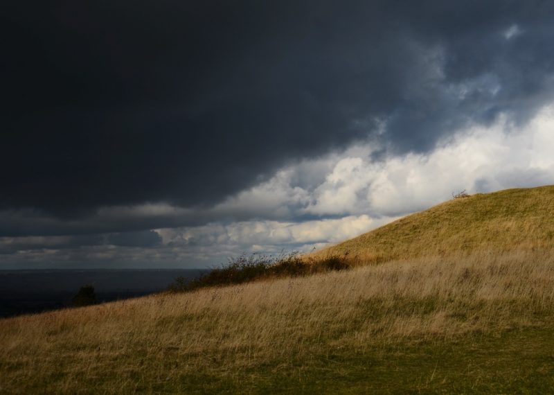
After months of record-setting heat, El Niño has finally passed.
Since last fall, unusually warm waters in the Pacific have distorted weather on every continent — downpours in California, drought in Zimbabwe, record-breaking heat across the globe. Finally, temperatures have chilled. El Niño will be followed by a longer, cooler period called La Niña.
NASA climatologist Kevin Trenberth told Bloomberg that La Niña feels like “a strong case of ‘normal.’” He said, “If a region is typically dry, it could become arid in a La Nina. If it’s usually wet, there may be floods.” Cool waters in the Pacific will produce colder weather in the Midwest and warmer, drier weather in the southern United States.
El Niño and La Niña return every two or three years. The Pacific absorbs the sun’s heat and releases it into the atmosphere during El Niño. Then, it recharges during La Niña, as Trenberth explained.
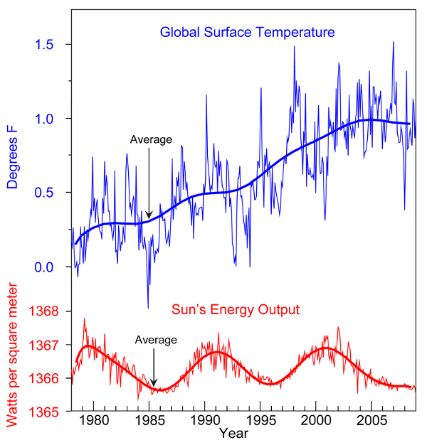
How does climate change figure into these patterns? Imagine the natural variation of warm and cool like a roller coaster traveling up and down. Climate change puts that roller coaster on a hill. Even as the car bounds across the tracks, it remains ever on an incline, getting higher and higher, warmer and warmer.
Where natural variation travels in the same direction as global warming, expect the most severe impacts. El Niño augmented the overall warming trend. 2015 was the hottest year ever recorded. Scientists expect 2016 to be even hotter.
Jeremy Deaton writes for Nexus Media, a syndicated newswire covering climate, energy, policy, art and culture. You can follow him @deaton_jeremy.